Nus
Aller à la navigation
Aller à la recherche
![]() |
Cél articllo est ècrit en arpetan supradialèctâl / ORB lârge. | ![]() |
Nus | ||||||||||||||
![]() Hèraldica |
||||||||||||||
![]() |
||||||||||||||
Noms ètrangiérs | ||||||||||||||
---|---|---|---|---|---|---|---|---|---|---|---|---|---|---|
Nom francês | Nus | |||||||||||||
Nom tuche | Nöis | |||||||||||||
Administracion | ||||||||||||||
Payis | ![]() | |||||||||||||
Règ·ion | ![]() | |||||||||||||
Province | ![]() | |||||||||||||
Sendeco | Elida Baravex 2010-2015 | |||||||||||||
Code postâl | 11020 | |||||||||||||
Code ISTAT | 007045 | |||||||||||||
Code cadastrâl | F987 | |||||||||||||
Prèfixo tèl. | 0165 | |||||||||||||
Dèmografia | ||||||||||||||
Populacion | 2 965 hab. | |||||||||||||
Densitât | 52 hab./km2 | |||||||||||||
G·eografia | ||||||||||||||
Cordonês | 45° 44′ 00″ B 7° 28′ 00″ L / 45.73333, 7.4666745° 44′ 00″ bise 7° 28′ 00″ levant / 45.73333, 7.46667 | |||||||||||||
Supèrficie | 5 700 ha = 57 km2 | |||||||||||||
Localisacion | ||||||||||||||
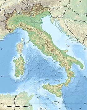
G·eolocalisacion sus la mapa : Vâl d’Aoûta G·eolocalisacion sus la mapa : Étalia G·eolocalisacion sus la mapa : Étalia | ||||||||||||||
Lims | ||||||||||||||
Seto Vouèbe | http://www.comune.nus.ao.it/ | |||||||||||||
changiér ![]() |
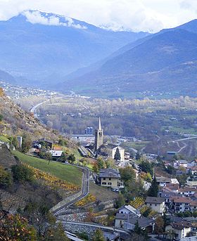
Nus, est una comena du Vâl d’Aoûta.